Beathbound

Cowdenbeath, Fife

The history behind Beathbound

A twist of cord in Bronze Age clay. A football team travelling on credit. A child in a miner’s boots on a High Street wall. Here are the stories behind the things you find on the trail.

Explore the six levels
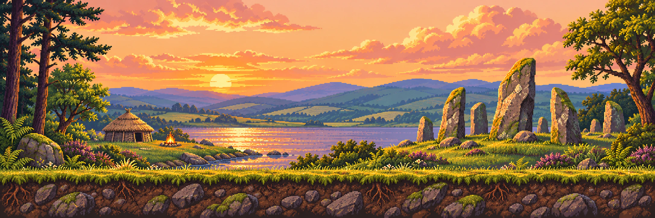
Pixel-art sunset over water, roundhouses and standing stones in the game’s Bronze Age landscape.
Tollie Hill, as imagined in BeathboundLevel 01
Level 01 Bronze Age

The First Footsteps

Tollie Hill and the burial ridge

In 1927, workers digging a bunker beside the 17th green at Cowdenbeath Golf Course struck pottery. Further finds in 1928 revealed a Bronze Age cremation cemetery with at least six urns. The game places the walk around 1000 BCE. The precise date of the burials is unknown.

Lacaille, A Bronze Age Cemetery near Cowdenbeath (1931), pp. 261–262

Items 10

Pitchstone flake

Beside the spot where the fourth urn had stood, archaeologist A. D. Lacaille found a worked flake of green volcanic glass. He identified it as pitchstone from Arran. How it came to lie beside the burial remains an open question.

Lacaille, p. 268 and site map, fig. 6

Patterned potsherd

A potsherd is a broken piece of pottery. Look just below the rim of the first Tollie Hill urn in Lacaille’s drawing. The potter pressed short diagonal lines into the clay in pairs, making a band of V-shaped chevrons.

Lacaille, p. 263, fig. 1

Bucket urn

The second urn earned its “bucket” description from its shape. Its upper sides stand upright, then taper towards the base. Look for the little X-shaped crosses in the drawing.

Lacaille, p. 263, fig. 2

Along the trail

Level 02 · The Chapel at Beath
Level 02 1100s

The Chapel at Beath

Beath chapel and Inchcolm

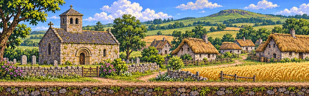
In the 1100s, the canons of Inchcolm, an island in the Firth of Forth, held a small mainland chapel at Beath. Its likely site lies in today’s Beath churchyard on the edge of Cowdenbeath.

Universities of St Andrews and Stirling, Beath Parish Church

Items 10

Level 03 · Beneath the Fields
Level 03 Around 1850

Beneath the Fields

The four farm districts

The trail imagines a walk around 1850, when four farms gave their names to separate districts. Kirkford, Foulford, White Threshes and Cowdenbeath would grow into one mining town. White Threshes lay to the south.

University of Glasgow · The Place-Names of Fife, Cowdenbeath

Items 10

Along the trail

Level 04 · The Making of a Burgh
Level 04 1890s

The Making of a Burgh

A town doubles in size

Cowdenbeath became a police burgh in 1890. A local account put its population then at about 4,000. The 1901 census counted 7,466 residents, and by 1902 the same account estimated about 8,000.

Local history lecture (1902), PDF p. 63

Items 10

Pit tally

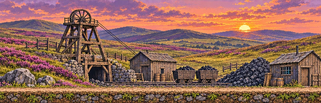
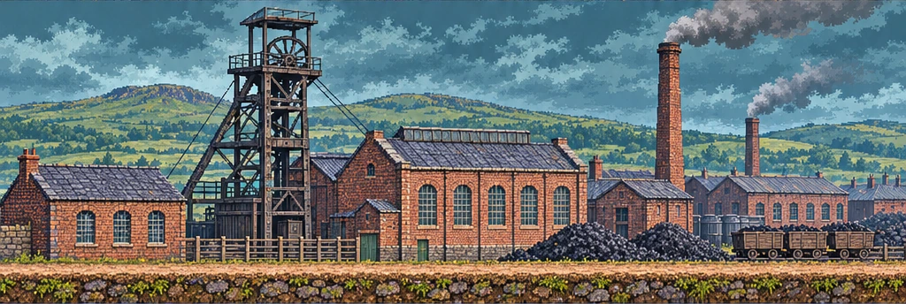
The Inspector of Mines’ list for 1896 names the Fife Coal Company as the operator of individual workings at Cowdenbeath.

Inspector of Mines · List of Mines, Fife (1896), p. 1

At the lamp room, miners exchanged numbered checks for lamps. A check left behind told the lamp keeper who had taken a lamp underground.

Amgueddfa Cymru · Colliery checks and tokens

Eleven local miners posed for a photograph to mark the merger of the Cowdenbeath and Fife Coal Companies in 1896. The burgh’s jubilee history reproduces their portrait.

History of Cowdenbeath (1940), p. 24 · miners’ photograph

Along the trail

Level 05 · Through the Turnstiles
Level 05 1917–1922

Through the Turnstiles

Central Park

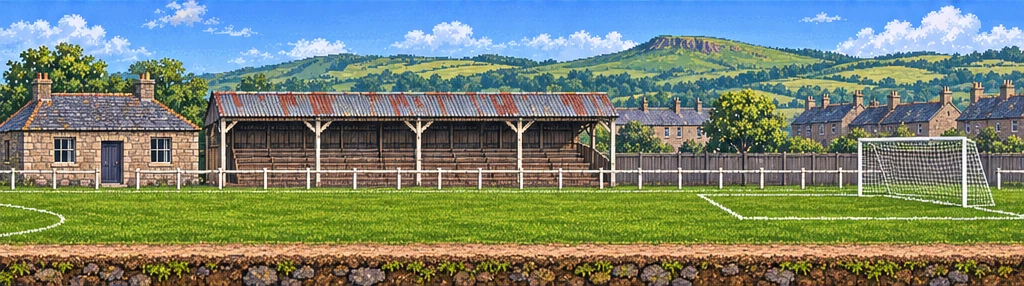
Cowdenbeath FC left North End Park for Central Park in 1917. The game takes the same first step as a supporter arriving at the new ground, through the turnstiles and onto the terraces.

Cowdenbeath FC · Club history · First and Second World War

Items 10

Level 06 · Written on the Walls
Level 06 Today

Written on the Walls

The High Street murals

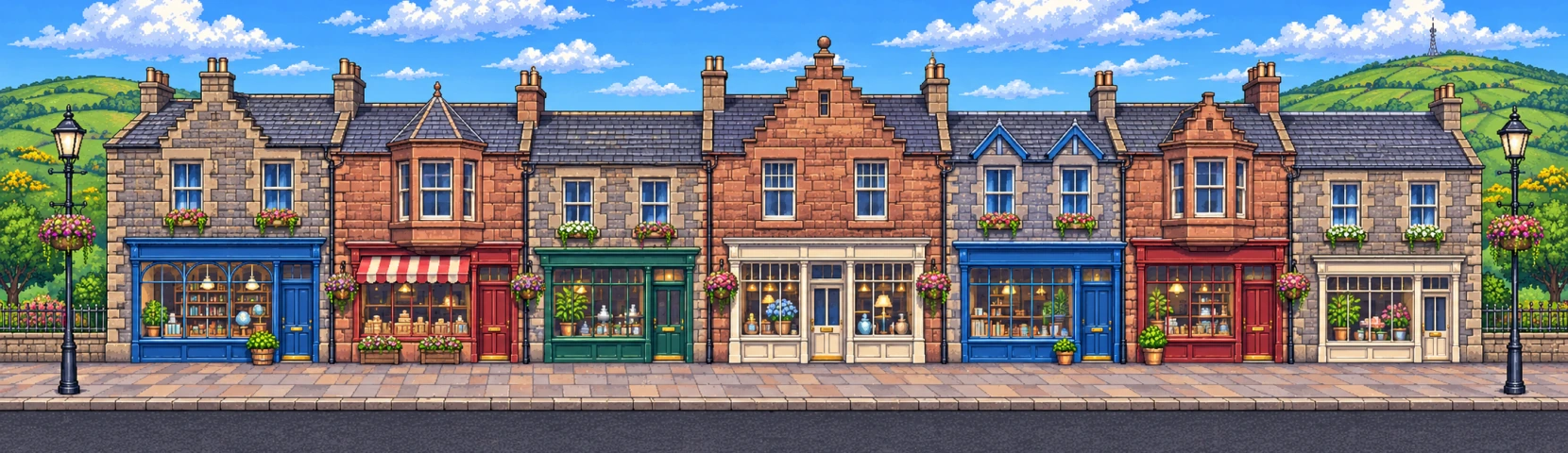
Kerry Wilson painted the murals that lead players along Cowdenbeath High Street to the Heritage Garden. The game calls this stretch “Mural lane”. Wilson’s portfolio shows the paintings on their walls.

Kerry Wilson · portfolio, Cowdenbeath High Street

Items 10

Back to the level index